Most people planning treks during monsoon in Uttarakhand get one of two pieces of advice: “Don’t go” or “Valley of Flowers is open, go there.” Both miss the point. The truth is more nuanced. Some Uttarakhand routes are genuinely stunning in July–August greener than any other season, far less crowded, and surprisingly manageable if you know what you’re getting into. Others become legitimately dangerous river crossings that swell overnight, trails that turn to slick clay, and landslide-prone ridgelines that no guide will take you up after heavy rain. This post gives you the actual picture, trail by trail.
Which Treks in Uttarakhand Are Actually Safe During Monsoon?
The short answer: forest trails at mid-altitude (2,000–3,500m) with well-defined paths and no exposed river crossings are generally fine in monsoon. High-altitude glacier approaches, trails that cross swollen rivers, and ridgelines exposed to lightning are the ones to avoid.
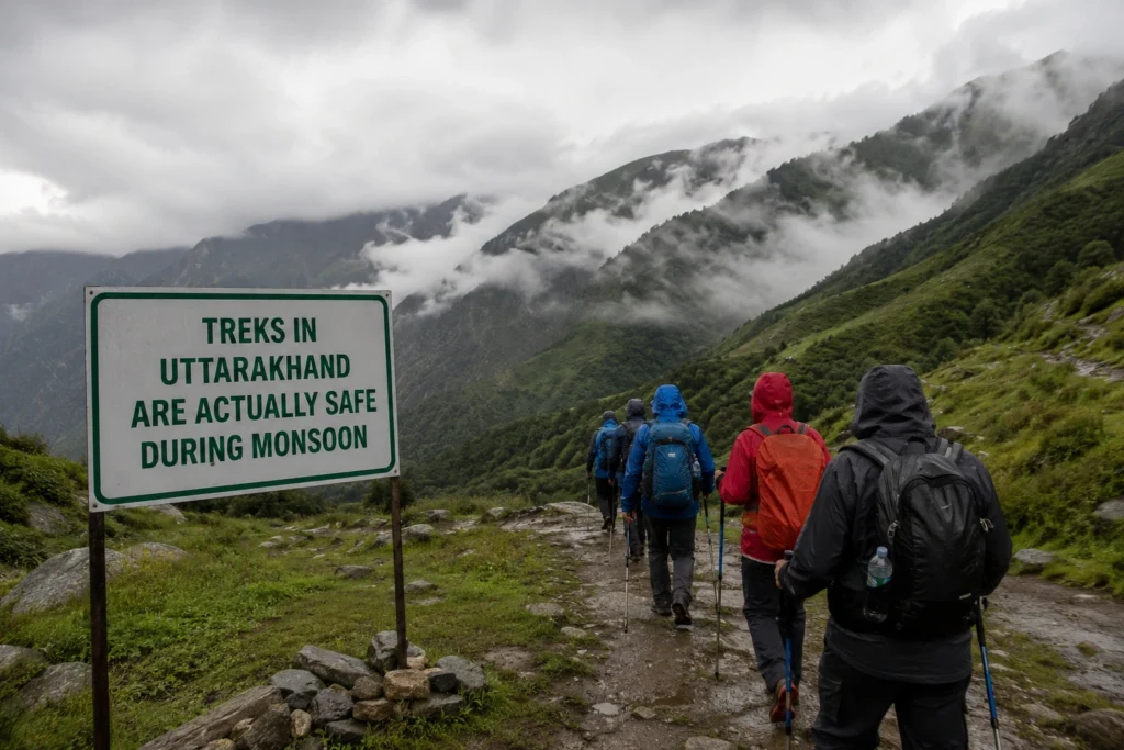
Here’s how the main monsoon treks in Uttarakhand break down.
Valley of Flowers — July to September (Peak Monsoon Season)
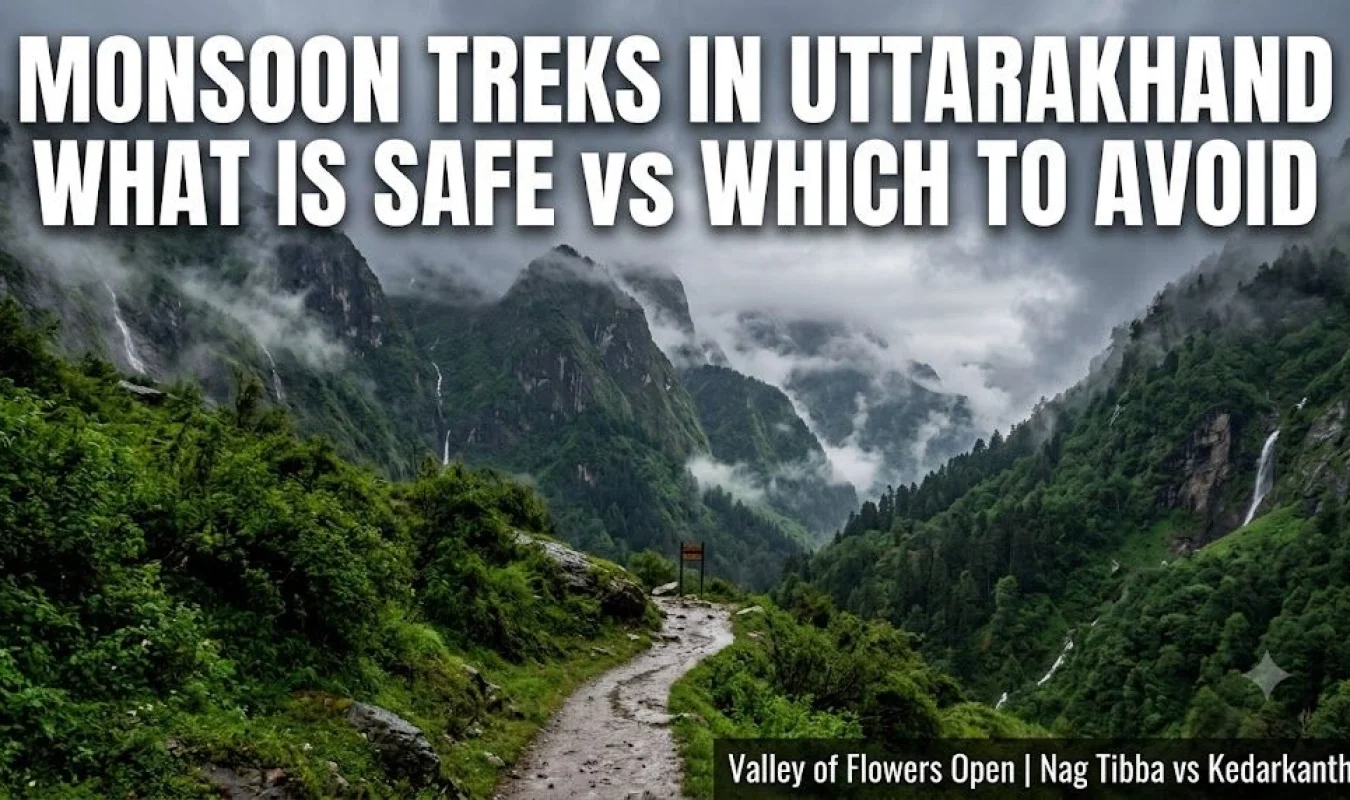
This is the one trek that is better in monsoon not in spite of the rain, but because of it. The Valley of Flowers (3,658m, Chamoli district) only comes into full bloom from mid-July to mid-August, when hundreds of Himalayan wildflower species cover the valley floor. Outside of this window, it’s just another alpine meadow.
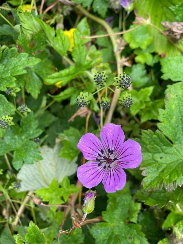
Photo Credit : Aditi bhatt
The trail from Govindghat to Ghangaria (14 km, gradual climb) is well-maintained and UNESCO-protected. Landslide risk exists on the Joshimath–Govindghat road check BRO updates before driving up. The valley itself, once you’re there, is low-risk if you stick to the marked trail and don’t attempt it in active heavy rain.
Base: Govindghat (drive from Rishikesh ~9 hours via Joshimath). Nearest town with accommodation: Ghangaria (walk-in only, no vehicles).
Leech alert: High on this route from June to August. Tuck socks over trouser hems. Salt works better than pulling.
Nag Tibba — Manageable, Even in Rain
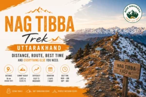
Nag Tibba (3,022m, Tehri Garhwal) is probably the most beginner-friendly monsoon trek in Uttarakhand and one of the least talked about for this season. The base village Pantwari is 58 km from Dehradun via Mussoorie. The round trip is 16 km through dense oak and rhododendron forest, with the summit giving views toward Bandarpunch and Swargarohini on clear mornings.
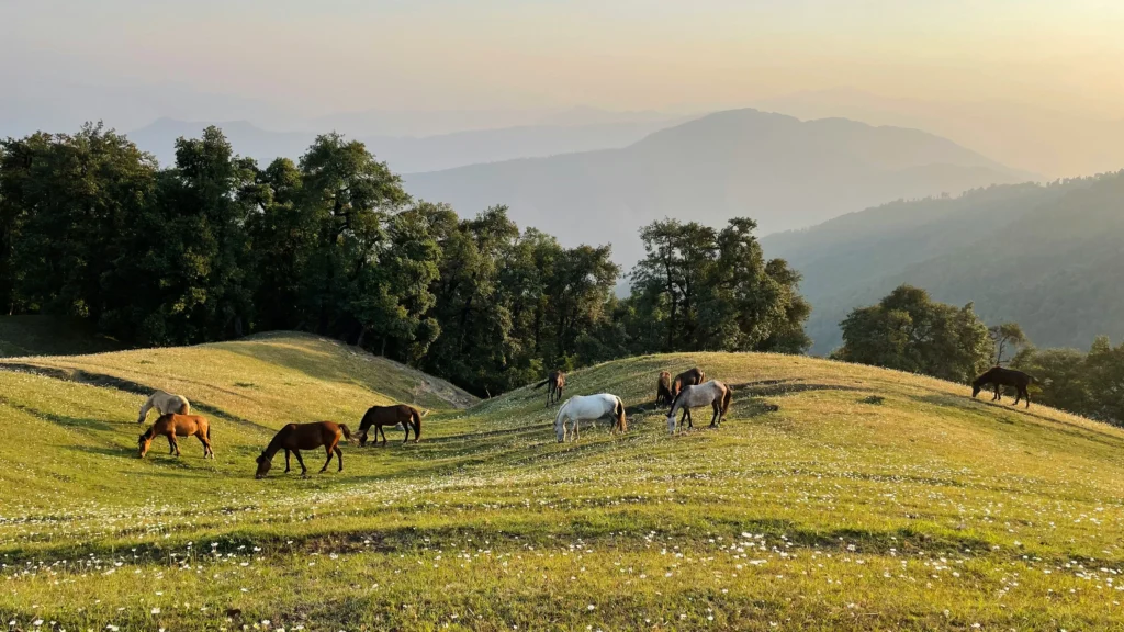
In monsoon, the forest gets extraordinarily green and the trail stays shaded which actually makes the climb cooler than summer. The path is rocky and can get slippery, but it doesn’t involve any exposed ridges or river crossings. Go with a guide if it’s your first time; the upper section has trail forks that confuse people.
Rain window: July–September. Expect mist and short heavy showers. Morning starts are key most afternoon rain clears by evening.
Dayara Bugyal — A Good Moderate Option
Dayara Bugyal (3,408m, Uttarkashi district) is one of the better moderate monsoon trekking options in Uttarakhand, specifically because it’s a meadow (bugyal) trek rather than a technical climb. The trail from Barsu village (12 km from Bhatwari on the Uttarkashi–Gangotri highway) passes through mixed forest before opening onto rolling high-altitude grassland.
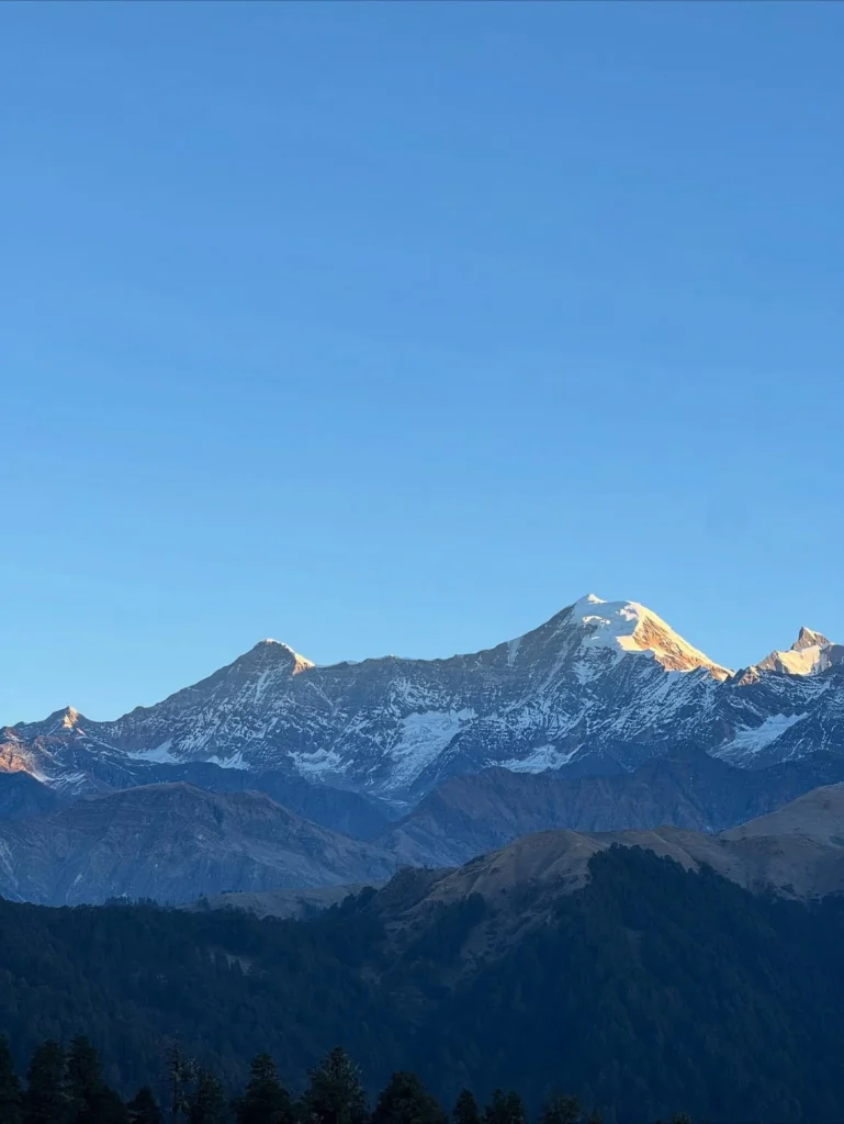
Photo Credit : Priyanshu
In monsoon, the bugyal turns a vivid green with patches of wildflowers. The risk level is low compared to glacier-approach treks. The main issue is cloud cover summit views are hit-or-miss. Go for the landscape, not the panorama.
Distance: 22 km round trip from Barsu. Moderate fitness required.
Har Ki Dun — Proceed With Caution
Har Ki Dun (3,566m, Uttarkashi) is one of Uttarakhand’s classic valley treks and genuinely beautiful in early monsoon (mid-June to early July) when the meadows are fresh and the river is still manageable. By peak monsoon (late July–August), the Tamsa river crossings become unpredictable after heavy overnight rain. Not dangerous every day, but the kind of route where you need a local guide who checks conditions the morning of each crossing not the night before.
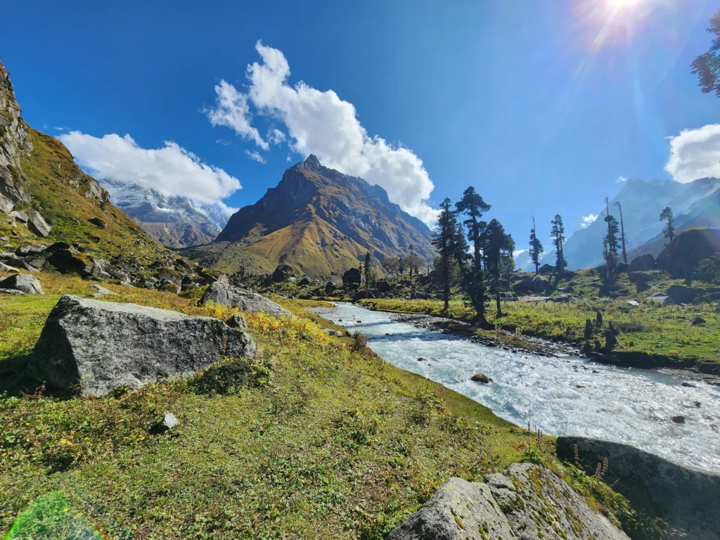
It’s best treated as an early-monsoon or post-monsoon route rather than peak monsoon. If you’re going in July, have a flexible itinerary that lets you wait out a day if river levels rise.
Treks to Avoid During Monsoon in Uttarakhand
Some routes are popular in other seasons but carry real risk in monsoon. This isn’t about being cautious it’s just honest.
- Kedarkantha (3,810m) — Snow on this summit lingers into June; the trail involves exposed ridge sections that become hazardous in monsoon lightning and low visibility. Save it for October–December.
- Roopkund (5,029m) — The approach through Bedni Bugyal is sometimes attempted in July, but the final push to the lake crosses technical glacier terrain that becomes genuinely dangerous in wet conditions. Not a monsoon route.
- Brahmatal — Similar to Roopkund — winter and post-monsoon trek only.
- Chandrashila / Tungnath — The trail is manageable in light monsoon, but the summit ridge is fully exposed and cloud cover makes the climb feel pointless most days. Early June or October is far better.
The honest rule: if the trek goes above 4,000m or crosses a significant river, check whether it makes sense in monsoon before booking anything.
Monsoon Trekking Safety — What Actually Matters
You’ll find generic packing lists on every travel site. Here’s what actually makes a difference on Uttarakhand trails in rain.
Start early, always. Most hill rain in Uttarakhand follows a pattern — mornings are clearer, afternoon cloud builds, rain comes by 2–3pm. If you’re targeting a summit or a long section, leave by 6am. Don’t negotiate with this.
Landslide awareness, not landslide fear. Active landslide zones are generally known by local guides and drivers. The risk isn’t usually on the trail itself — it’s on the road to the trailhead. Before driving into the hills in monsoon, check BRO (Border Roads Organisation) updates for road closures. The Joshimath–Badrinath and Uttarkashi–Gangotri corridors close intermittently after heavy rain.
Leeches are certain on forest trails June–August. They won’t harm you seriously, but they’re unpleasant if you’re not prepared. Tuck trousers into socks. Apply salt or tobacco to any that attach do not pull. Check ankles at every rest stop.
Your waterproofing needs to be real. A ₹200 rain poncho from a roadside shop in Rishikesh is not waterproofing for 6 hours in Himalayan rain. A proper rain jacket (taped seams), a pack cover, and waterproof bags inside your backpack for anything electronic or dry-clothing that’s the minimum.
What to carry for monsoon trekking in Uttarakhand:
- Waterproof jacket with taped seams (not a poncho)
- Pack rain cover
- Dry bags or zip-lock bags for phone, documents, spare clothes
- Trekking poles — slippery trail conditions make them worth it
- Salt (for leeches), ORS sachets, ibuprofen
- Emergency contact for your accommodation and a downloaded offline map (Maps.me or AllTrails — mobile signal on most Uttarakhand trails is patchy to non-existent)
Guide or no guide? For Valley of Flowers and Dayara Bugyal, solo trekking is viable if you have trail experience. For Har Ki Dun in peak monsoon, a local guide is worth every rupee specifically because they’ll make real-time calls on river crossing safety that no online itinerary can substitute for.
Getting to Uttarakhand Trek Bases from Rishikesh
Rishikesh is the most practical launch point for most of these treks. It’s 3–4 hours from Dehradun airport (Jolly Grant), has reliable accommodation at every price point, and sits at the junction of the main highways toward both Garhwal and Kumaon.
From Rishikesh:
- Govindghat (Valley of Flowers base): ~9 hours by bus or shared jeep via Joshimath an overnight stay in Joshimath or Ghangaria on arrival is more comfortable than trying to do it in one day
- Pantwari (Nag Tibba base): ~3 hours via Mussoorie–Chamba road you can do a 2-night trek from Rishikesh reasonably
- Barsu village (Dayara Bugyal base): ~6 hours via Uttarkashi plan an overnight in Uttarkashi or Bhatwari before the trek
- Sankri (Har Ki Dun base): ~8 hours via Purola again, overnight en route is more practical
State buses (GMOU/UPCRTC) run most of these routes slower but cheap. Shared jeeps are faster and easier to find from Rishikesh or Haridwar bus stand.
If you want a direct drop to any of these trailheads without navigating connections, outstation taxi drops from Rishikesh can be arranged message us on WhatsApp and we’ll sort the logistics.
Plan Your Monsoon Trek from Rishikesh
If you’re organising a monsoon trek in Uttarakhand and need transport from Rishikesh to your trailhead or just want to talk through route options and current road conditions message us directly. We know these roads, and we’re happy to help plan the logistics before you book anything formal.
→ Message us on WhatsApp
Frequently Asked Questions (FAQs)